🚚 Road transport
🧭 Methodology
We follow the GLEC methodology, which summarizes a framework for every zone of the world, giving emission factors depending on the truck, the region and the type of goods. Essential in this framework is the use of accurate distances, for which we leverage our routing engine for road. The distances we use come from appropriate routes for trucks.
📍 Locations
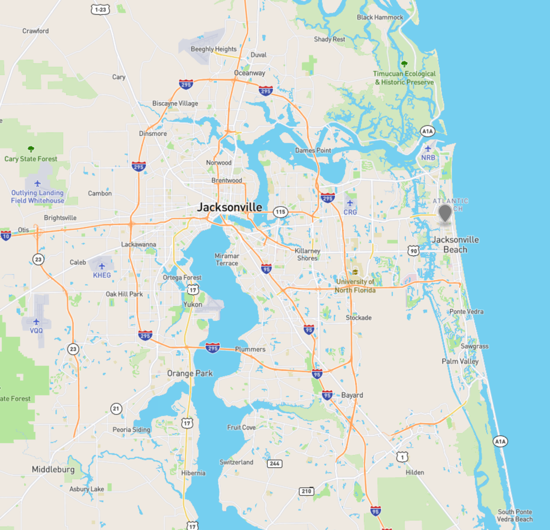
Our road freight CO2e emission calculator can be used either from a source to a destination, given either as locode or as geocoordinates. You can use our geocoder to find the coordinates of a zipcode, airport or port so that you get the most accurate distances when performing your computations. We show below how to get the geocoordinates for a zipcode in Jacksonville, Florida.
{
    "type": "FeatureCollection",
    "features": [
        {
            "type": "Feature",
            "properties": {
                "name": "Neptune Beach",
                "state": "Florida",
                "county": "Duval",
                "type": "area"
            },
            "geometry": {
                "type": "Point",
                "coordinates": [
                    -81.4051,
                    30.3155
                ]
            }
        }
    ],
    "properties": null
}
curl --request GET 'https://api.searoutes.com/geocoding/v2/zipcode?country=US&postal=32266' \
--header 'x-api-key: <your_api_key>'
Jacksonville position via the geocoder
🌱Emissions
Europe, South America, Asia, Africa
CO2e emissions are computed for each truck size (gross vehicle weight in tons), fuel type (among diesel, CNG, LNG) and cargo type (container or mixed). You can find the entire parameter list here.
{
    "co2e": {
        "total": 1300158,
        "wtt": 134499,
        "ttw": 1165659
    },
    "parameters": {
        "mode": "ROAD",
        "from": {
            "locode": "FRMRS",
            "coordinates":
        },
        "to": {
            "locode": "FRAOP",
            "coordinates":
        },
        "weight": 10000,
        "fuel": "CNG",
        "truckSize": 18
    },
    "properties": {
        "distance": 896661,
        "region": "Europe",
        "truck": {
            "minSize": 12,
            "maxSize": 20,
            "load": 0.6,
            "emptyRunning": 0.17,
            "loadEmptyRunningCombined": null
        }
    }
}
curl --request GET 'https://api.searoutes.com/co2/v2/direct/road?fromLocode=FRMRS&toLocode=FRAOP&truckSize=18&weight=10000&fuel=CNG' \
--header 'x-api-key: <your_api_key_here>'North America
For North America, truck size is not taken into account as we use the SmartWay categories which allows to calculate CO2e emissions for a type of goods instead of a truck.
The APIs provide CO2e for the following SmartWay categories :
- Van (<3.5t) by default;
- General using the
AVERAGE_MIXEDvalue for the load type parameters; - Dray using the
CONTAINERvalue for the load type parameters.
The road carrier code (SCAC) can also be passed in order to obtain more accurate data based on emissions rate per truck carrier (US/CA only). You will find the list of available SCAC per SmartWay categories (AVERAGE_MIXED; CONTAINER) [here] (https://drive.google.com/file/d/1QXLE2nOihCg_CZL2CHB-TkPnpfSukFWH/view?usp=share_link).
Updated 5 months ago